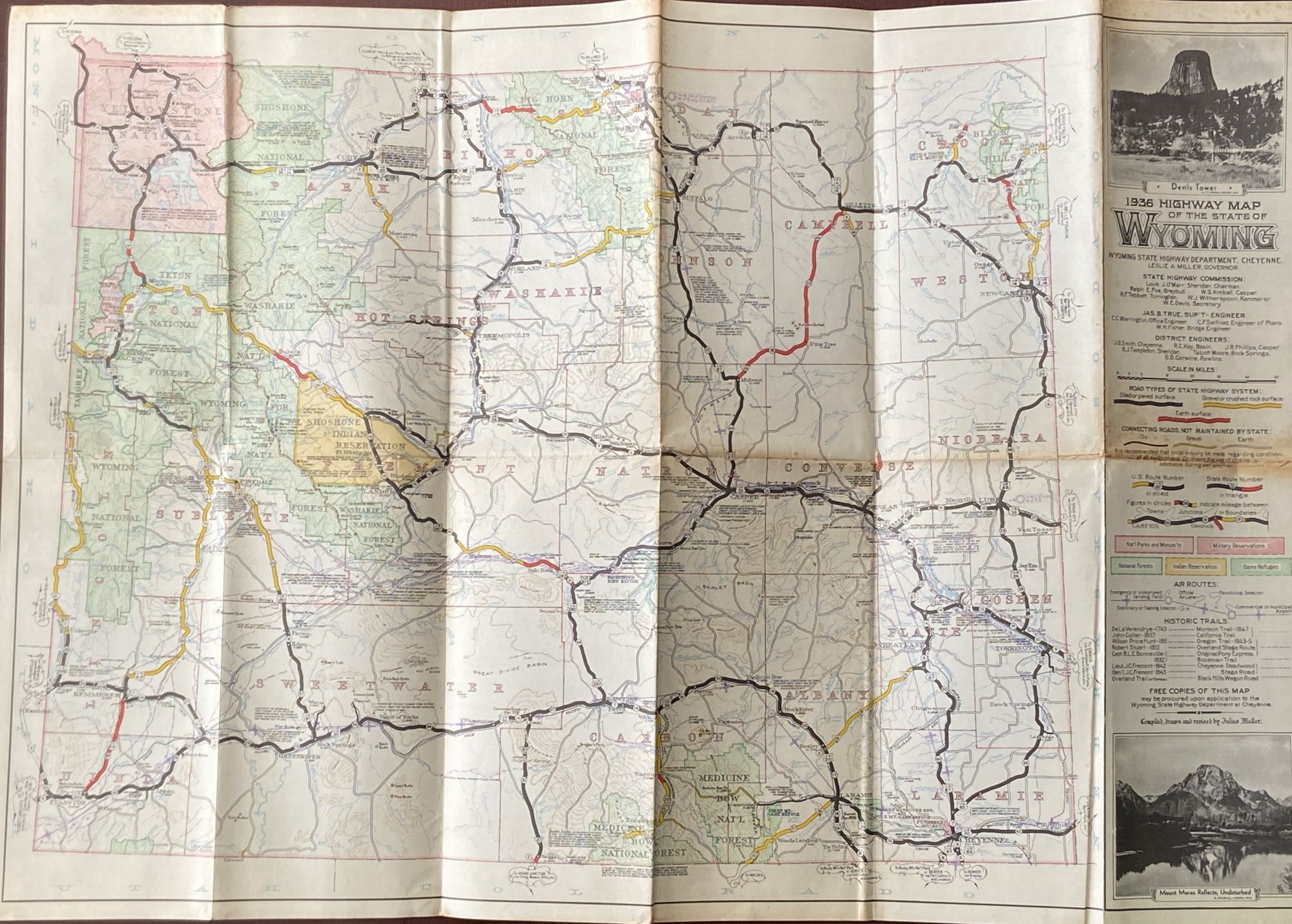
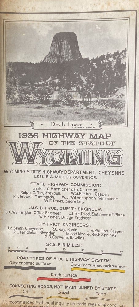
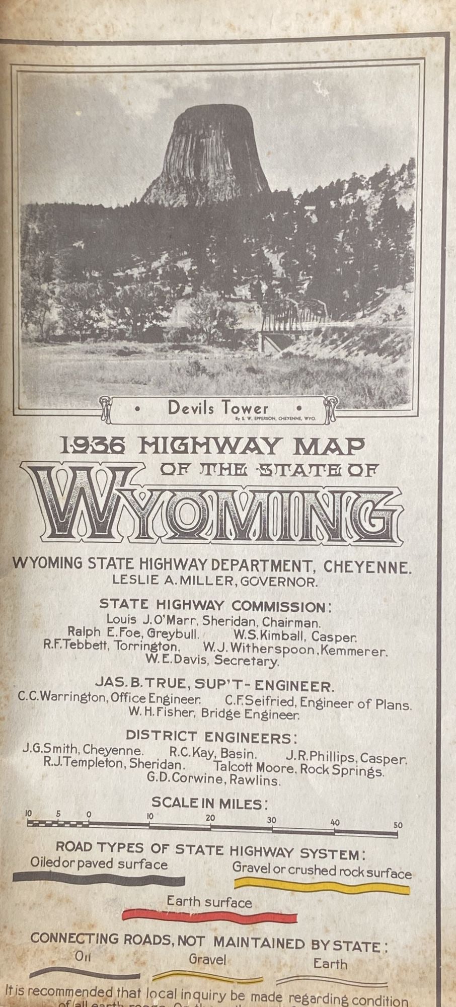
1936 Highway Map of the State of Wyoming
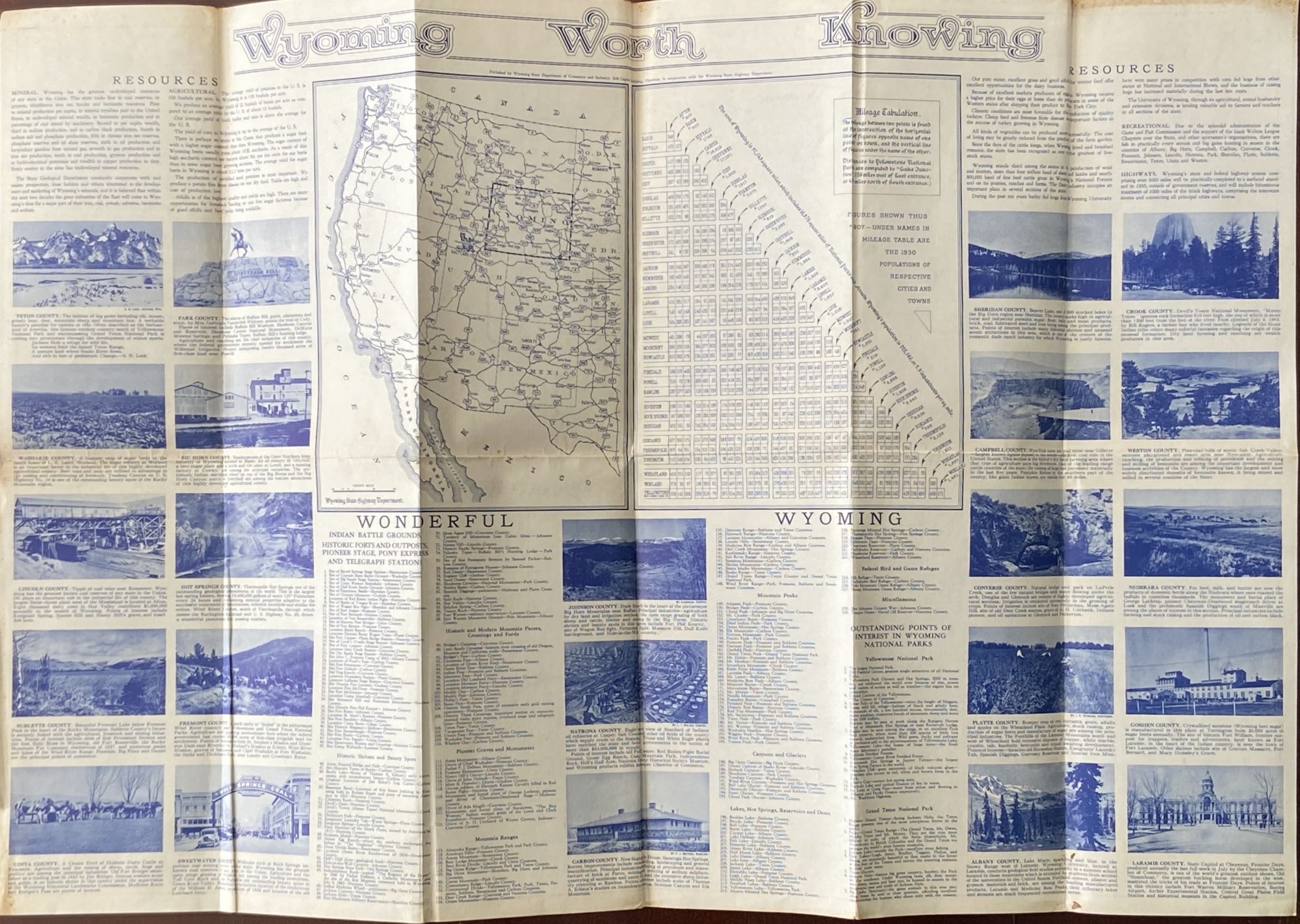
Wyoming State Highway Department, Cheyenne. Julius Muller, Cartographer. 29” x 20”; 5” x 10” folded. Soiling at edges and folds. Details road types of the state highway system, connecting roads, Indian reservations, national parks and monuments, national forests, military reservations, game refuges, air routes, and historic trails (including the original Pony Express, the Mormon Trail of 1847, and the Oregon Trail 1843-45). Verso includes images from all 23 Wyoming counties, lists of resources, Indian battle grounds, historic forts and outposts, historic and modern mountain passes, canyons and glaciers, lakes, hot springs, and other points of interest in the state dubbed “Wyoming Worth Knowing.” Leslie Miller, the Governor at the time this map was made, favored the expansion of Grand Teton National Park in the western part of the state just south of Yellowstone. No copies in commerce, and only four holdings per OCLC (Stanford, Huntington Library, Wisconsin Historical Society, University of Minnesota Minneapolis). Item #551
Price: $225.00